Maps
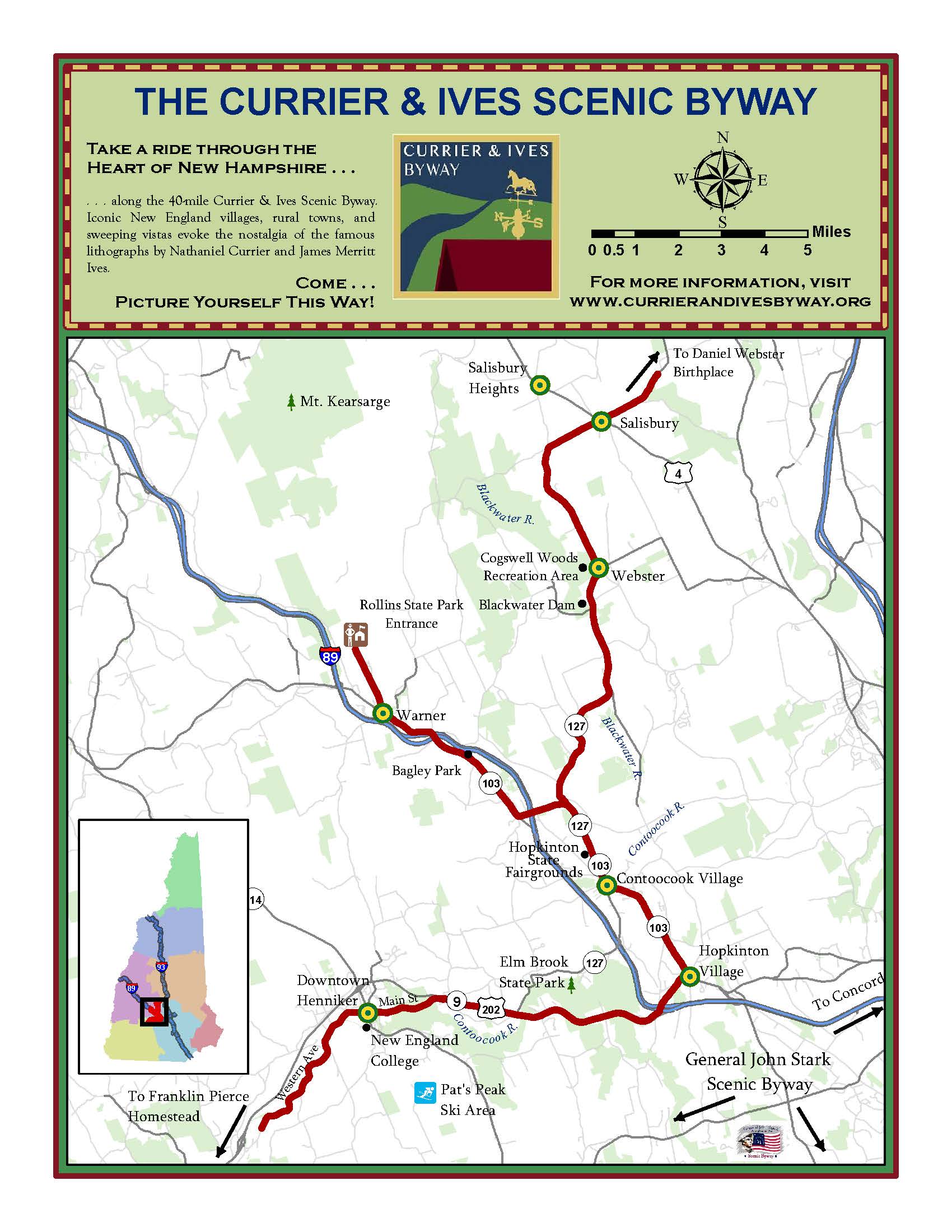
Map of the Currier and Ives Scenic Byway Route
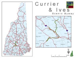
Location Map of Currier & Ives Scenic Byway in NH
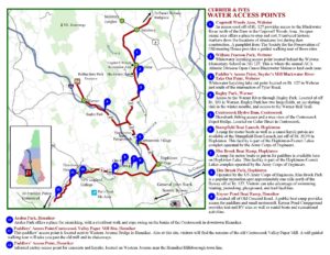
Map of Public Water Access Points
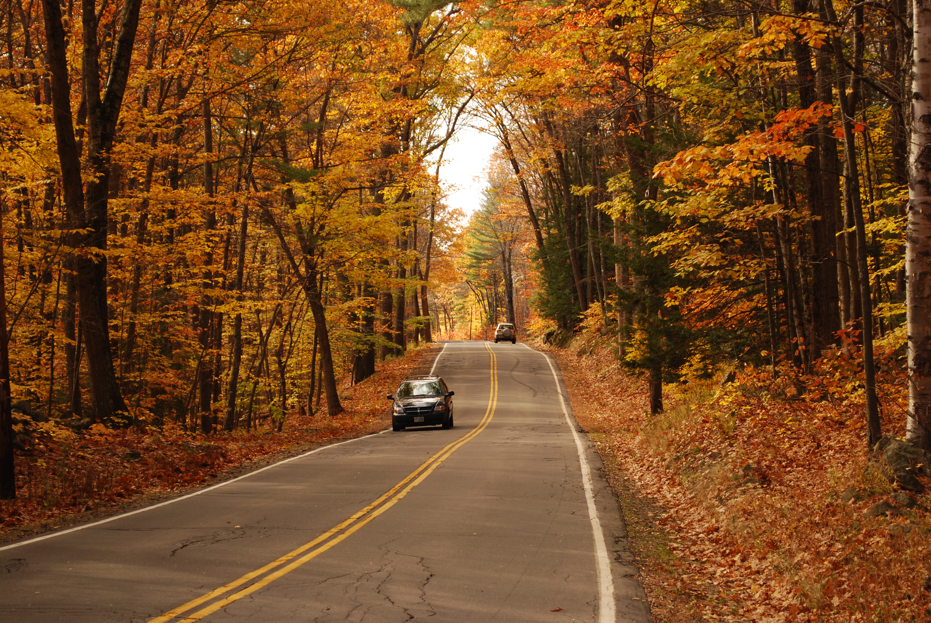
Please Note: We encourage visitors to travel the Byway year round! Please be aware that our Byway is comprised of a combination of Town and State maintained roadways and road conditions may vary.
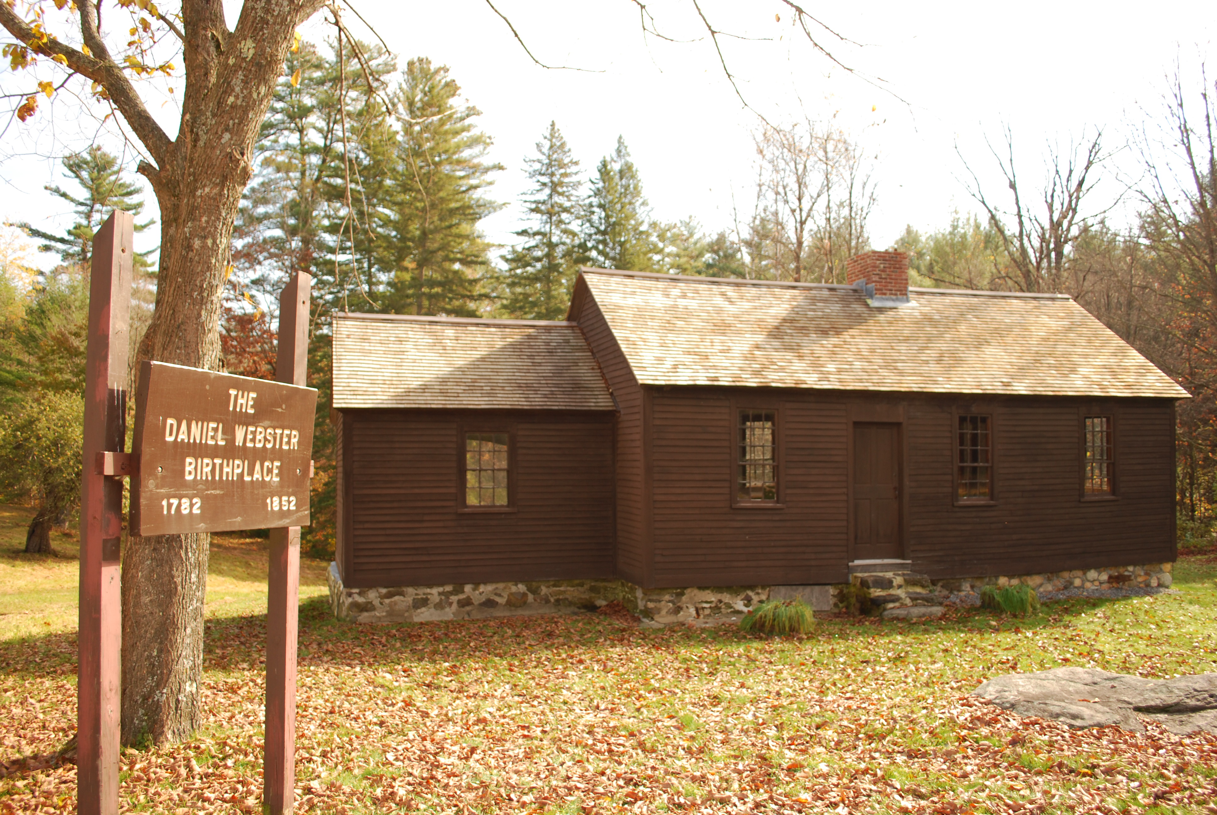
Resources
Currier & Ives Byway Route – Driving Directions
Blackwater Dam, Webster – Trail Map – Equestrian Trail Map
Mt. Kearsarge, Rollins State Park, Webster – Trails Map – State Park Website
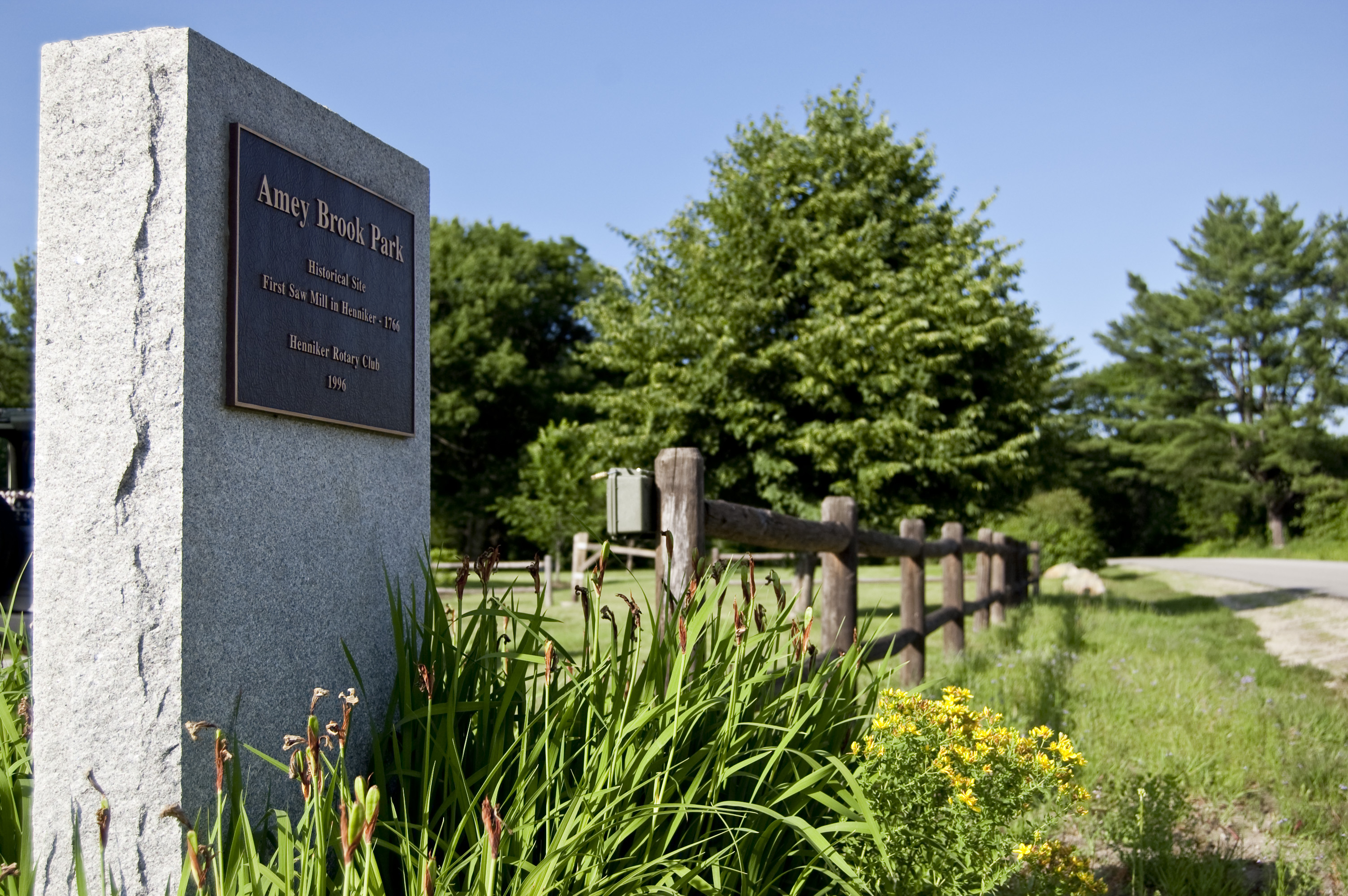
Henniker Rotary Club – Outdoor Guide
Hopkinton Recreation Committee – Hopkinton Outdoor & Recreational Activities Guidebook
Veteran Memorial Sites – Site Inventory